mayr
40
1:25000
Tiroler Seenland am Rofen - Brandenberg, Kramsach, Münster, Wiesing, Breitenbach am Inn, Rattenberg, Radfeld, Brixlegg
mayr
26
1:35000
mayr
31
1:35000

mayr
54
1:25000
mayr
55
1:25000
mayr
56
1:25000
mayr
51
1:25000

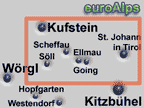
mayr
1
1:35000
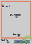
mayr
33
1:35000
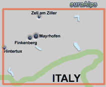
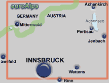
mayr
23
1:50000
mayr
18
1:35000
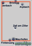
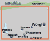
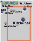
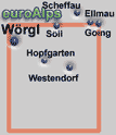
These are some of the mayr maps that cover the resorts.
Note: The area or resort may be on the edge of some maps.
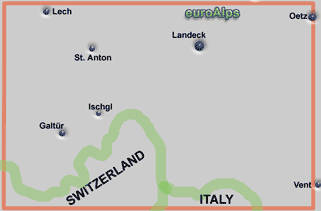
The pictures show the approximate area covered. The maps are different scales and the size (of paper) also varies.
Mayr Maps - Wanderkarten
Austria
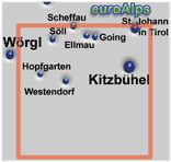
mayr
164
1:40000
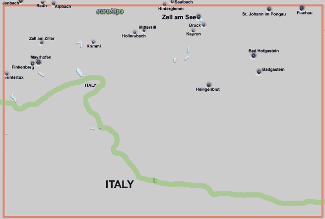
mayr
193
1:150000
Mayr produce a range of maps including walking / hiking maps. They also produce road maps, city maps and panorama maps. Walking maps have scales from 1:25000 to 1:40000. The new mayr XL Edition maps are 1:25000 double sided maps and are tear and water resistant with large size print / symbols..
Mayr was started by Walter Mayr in 1977 and bought by Kompass Maps in 2002.
This list is believed to be correct, but there may be some current maps missing or some out of print.
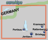
mayr
30
1:40000
mayr
28
1:35000
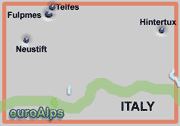
mayr
24
1:35000
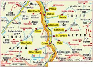
Wipptal, Stubaital - Matrei am Brenner, Mühlbachl, Pfons, Navis, Steinach am Brenner, Trins, Gschnitz, St. Jodok, Schmirn, Vals, Gries am Brenner, Obernberg
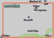
mayr
6
1:50000
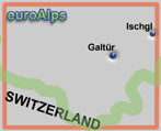
mayr
89
1:35000
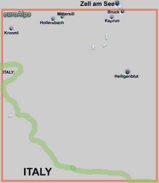
mayr
170
1:100000
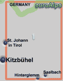
mayr
61
1:35000
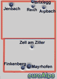
mayr
310
1:25000
mayr
410
1:25000
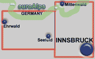
mayr
420
1:25000
English
Italian
German
This Mayr city map and guide of Innsbruck comes in English, Italian and German versions.
Stadtführer, City Guide, Innsbruck - Hall
mayr
161 - German
162 - Italian
163 - English
Stadtplan, City Map, Innsbruck
mayr
160
A good range is available from Amazon. You will find links to the Amazon UK site, Amazon US, Amazon CA, Amazon IT and Amazon Germany sites. Not all books & maps are available from each site.
For information about how English speaking Customers can order from Amazon Germany, click here.
Mayr Walking Maps
This map covers Kitzbühel and the area around Kitzbühel.
Guida città n. 162. Innsbruck
This is a city map of Innsbruck.
Ferienregion Tiroler Lechtal, Bach-Stockach, Boden-Bschlabs, Elbigenalp, Elmen, Forchach, Gramais, Hinterhornbach, Häselgehr, Holzgau, Kaisers, Namlos, Stanzach, Steeg-Hägerau, Vorderhornbach
mayr
5
1:35000
Kleinwalsertal, Riezlern, Hirschegg, Mittelberg, Baad
mayr
8
1:25000
Tannheimer Tal und Hindelang - Oberjoch, Unterjoch
mayr
9
1:35000
Tiroler Zugspitzgebiet - Ehrwald, Lermoos, Biberwier, Lähn / Wengle, Bichlbach, Berwang, Heiterwang, Plansee
mayr
12
1:30000
Wander-, Rad-, MTB- und Skitourenkarte mit Wanderführer. GPS-geeignet
Hochpustertal - Osttirol - mit Winterkarte
mayr
80
1:35000
St. Anton am Arlberg XL, St. Anton am Arlberg XL, St. Christoph, St. Jakob, Pettneu, Flirsch / Schnann, Strengen
mayr
401
1:25000
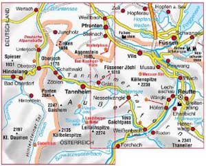
Tannheimer Tal - Reutte XL, Füssen, Pfronten, Bad Hindelang, Ober- und Unterjoch
mayr
409
1:25000
Mieminger Plateau - Fernpass Seen XL - Imst, Telfs, Kühtai
mayr
430
1:25000
Kaisergebirge - Kufstein - Thierseetal XL - Bayrischzell - Wendelstein
mayr
440
1:25000
Tannheimer Tal XL Edition - Füssen, Pfonten
mayr
900
1:25000
|
On this page |
|
|
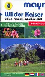
Landeck, Zams XL, Fließ, Tobadill, Grins, Stanz, Serfaus, Fiss, Ladis
mayr
402
1:25000
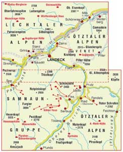
This is a mayr XL Edition map. It is a double sided map and is tear and water resistant.
It covers the Lechtaler Alpen and Ötztaler Alpen around Landeck, and south to Pfunds.
See mayr map 401, above, for the map to the west.
This is a mayr XL Edition map. It is a double sided map and is tear and water resistant.
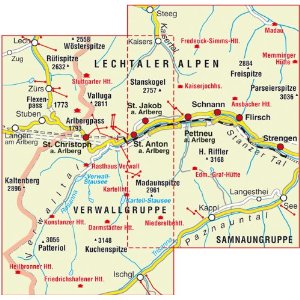
It covers the Lechtaler Alpen and Verwallgruppe around St. Anton, with Lech on the north edge of the map, and Ischgl on the south edge of the map.
See mayr map 1, above, for 1:35000 scale map of similar area.
See mayr 402, below, for the map to the east.
This map covers the Lechtaler Alpen and Verwallgruppe around St. Anton, with Lech on the north west corner of the map, and Ischgl on the south edge of the map.
See mayr map 401, below, for 1:25000 scale XL edition map of similar area.
This is a mayr XL Edition map. It is a double sided map and is tear and water resistant.
It covers the region of the Tannheimer valley just south of the border with Germany.
This is a mayr XL Edition map. It is a double sided map and is tear and water resistant. It covers Innsbruck, Seefeld, Ehrwald, Mittenwald.
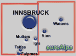
This is a mayr XL Edition map. It is a double sided map and is tear and water resistant. It covers Innsbruck, Mutters, Telfes, Igls Rinn, Wattens.
This is a mayr XL Edition map. It is a double sided map and is tear and water resistant.
It covers the region of Imst, Telfs, Kühtai to the west of Innsbruck.
This is a mayr XL Edition map. It is a double sided map and is tear and water resistant.
This is a mayr XL Edition map. It is a double sided map and is tear and water resistant.
This is a mayr XL Edition map. It is a double sided map and is tear and water resistant.
It covers the Ziller valley from Jenbach south to Mayrhofen and Finkenberg that are on the southern edge of the map.
Wipptal und seine Seitentäler XL,
Navistal, Schmirntal, Valser Tal, Gschnitztal. Obernbergtal
mayr
424
1:25000
Brixental XL, Hopfgarten, Kelchsau, Itter, Brixen im Thale, Westendorf, Rettenbach, Kirchberg, Aschau
mayr
456
1:25000
mayr
461
1:25000
Pillerseetal XL, Hochfilzen, Fieberbrunn, St. Jakob in Haus, St. Ulrich am Pillersee, Waidring
This is a mayr XL Edition map. It is a double sided map and is tear and water resistant.
It covers the region south of Innsbruck with the main road to the Brenner Pass and the border with the Itailian Sudtirol. The Stubaier Alpen are on the west and the Tuxer Alpen are on the east of the map.
Mayr map 420, above, is to the north.
This is a mayr XL Edition map. It is a double sided map and is tear and water resistant.
This is a mayr XL Edition map. It is a double sided map and is tear and water resistant.
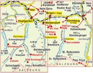
maps: 16.4 x 10cm
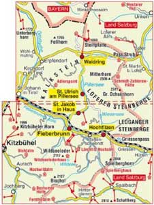
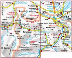
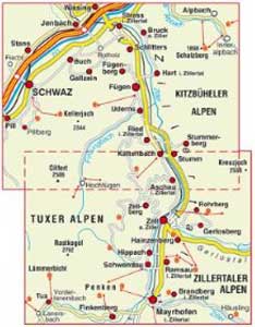
Some new XL edition maps cover the same area as existing 1:25000 scale maps, for example map 1 & map 401.
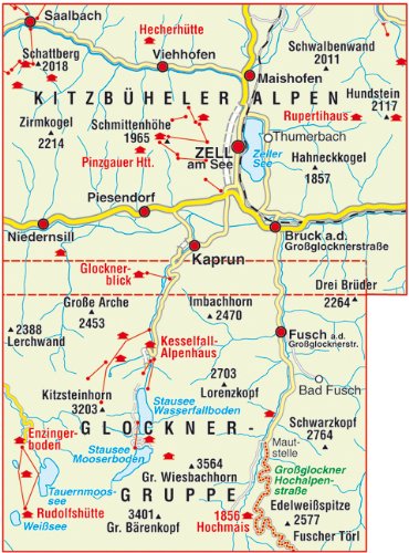
Zell am See Kaprun XL Edition
mayr
574
1:25000
This is a mayr XL Edition map. It is a double sided map and is tear and water resistant.
|
On Page 2 |
Tiroler Lechtal XL
mayr
405
1:25000
This is a mayr XL Edition map. It is a double sided map and is tear and water resistant.
It covers the area of Lechtal.
Tiroler Zugspitz Arena XL - Ehrwald - Lermoos - Biberwier - Lähn/Wengle - Bichlbach - Berwang - Heiterwang - Plansee - Namlos
This is a mayr XL Edition map. It is a double sided map and is tear and water resistant. It covers The Zugspitz area next to the German border and the surrounding villages.
mayr
412
1:25000
This is a mayr XL Edition map. It is a 2 maps set, each map is double sided map and tear and water resistant. They cover the Stubaital area south of Innsbruck.
mayr
418
1:25000
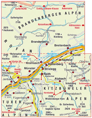
Alpbachtal - Seenland XL
mayr
428
1:25000
This is a mayr XL Edition map. It is a double sided map and is tear and water resistant.
It covers the region of Alpbach, and the lakes north of Alpbach, both to the east of Innsbruck.
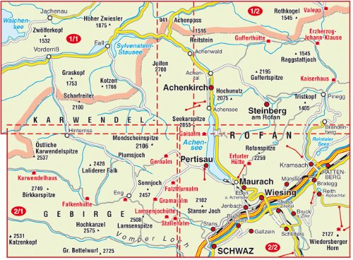
Achensee - Karwendel - Rofan XL (2-Karten-Set)
mayr
429
1:25000
This is a mayr XL Edition map. It is a 2 map set. Each map is double sided map and is tear and water resistant.
It covers the region of Achensee, Pertisau, Karwendel and Rofan to the north-east of Innsbruck.
Wilder Kaiser - Ellmau - Going - Scheffau - Söll XL
mayr
451
1:25000
This is a mayr XL Edition map. It is a double sided map and is tear and water resistant.
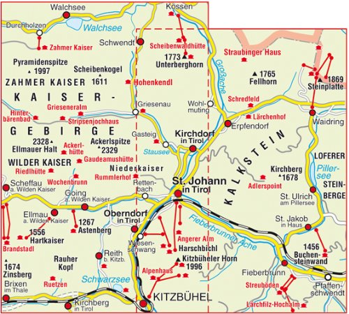
St. Johann in Tirol XL - Oberndorf - Kirchdorf - Erpfendorf. Kitzbüheler Alpen
mayr
452
1:25000
This is a mayr XL Edition map. It is a double sided map and is tear and water resistant.
Kitzbühel XL - Reith bei Kitzbühel, Aurach, Jochberg, Pass Thurn
mayr
455
1:25000
This is a mayr XL Edition map. It is a double sided map and is tear and water resistant.
mayr
460
1:25000
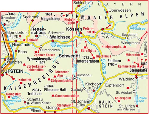
Kaiserwinkl XL - Walchsee, Kössen, Schwendt, Rettenschöss
This is a mayr XL Edition map. It is a double sided map and is tear and water resistant.
mayr
480
1:25000
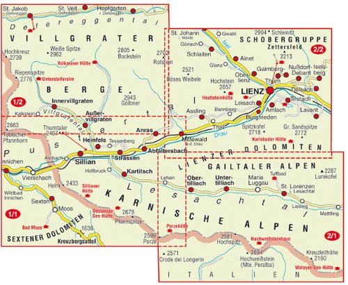
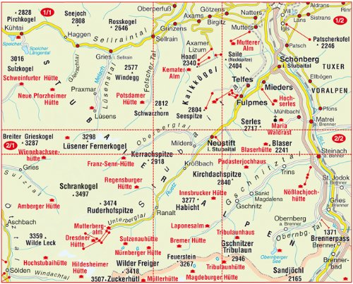
Hochpustertal XL (2-Karten-Set)
This is a mayr XL Edition map. It is a double sided map and is tear and water resistant.
mayr
181
1:300 000
Urlaubsführer Tirol mit Straßenkarte 1:300000 und Panorama: Nord-, Ost- und Südtirol
This is a Guide with street map and Panaroma: North, East and South Tirol.
mayr
181
1:300 000
Urlaubsführer Tirol mit Straßenkarte 1:300000 und Panorama: Nord-, Ost- und Südtirol
This is a Guide with street map and Panaroma: North, East and South Tirol.
mayr
191
Das große Berann-Alpenpanorama: Von Marseille bis Wien
This is a Panaroma of the Alps from Marseilles to Vienna
mayr
200
1:500 000
Alpen - Adria: Straßenkarte 1:500000 mit Panorama
This is a Panaroma of the Adriatic with a Panorama
Amazon DE
Amazon US
Amazon CA
© 2005-2025
A Fielding
All Rights Reserved
Amazon UK
Amazon IT
