St. Anton am Arlberg, Tirol, Austria
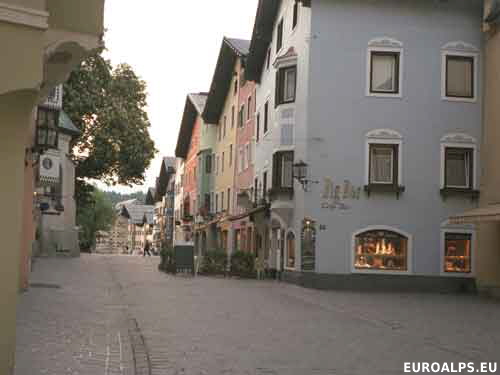
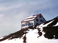
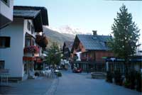
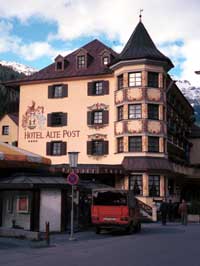
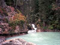
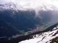
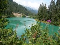
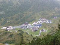
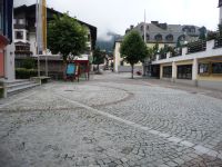
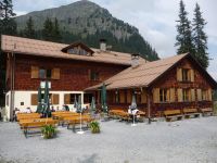

St. Anton Location
Click here for a Region Map and details of walking / hiking maps.
Sankt Anton am Arlberg lies at the Western edge of the Tirol (Tyrol) region of Austria with Lech in the Vorarlberg province just to the West. Together with Lech and Stuben, St. Anton forms the Arlberg area. The main road (197) and railway pass to the south of St Anton.
St. Anton is a member of “Best of the Alps - The Classic Mountain Resorts”.
Walking / Hiking in the St. Anton Area
There are about 350 km of paths in the Arlberg area. The Tourist Office may offer guided walks. Mayr map 401 is a good map to use
Skiing in the St. Anton Area
St. Anton is part of the Ski Arlberg region covering St. Anton, St. Christoph, Lech, Oberlech, Zürs. There are about 276 km of ski runs and 174 km cross country ski tracks.
St. Anton Walking / Hiking Maps
There are several maps that cover the area at different scales suitable for walking, hiking and exploring the area.
Click here for St. Anton Map Information.
St. Anton Tourist Information
Tourismusverband St. Anton am Arlberg
Dorfstraße 8
A-6580 St. Anton am Arlberg, Austria
Tel: +43 (0) 5446 22690
Fax: +43 (0) 5446 2532
E-Mail: E-Mail: info@stantonamarlberg.com
Airports (Flughafen)
The nearest airport to St. Anton is Innsbruck.
- Innsbruck: 100 km - 1h 00 mins
- Salzburg: 300 km - 2h 45 mins
- Munich: 250 km - 2h 20 mins
- Zurich: 200km - 2h 00 mins
Rail Stations (Bahnhof)
There is a main train station in St. Anton. Until 1999 it was in the centre of St. Anton but it was moved 1 km south to the edge of the town, near the main road.
ÖBB (English) also has bus information.
Buses
There are a number of bus routes.
ÖBB (English) also has train information.
VVT (Verkehrsverbund Tirol) also has train information.
Cable Cars - Chair Lifts
There are about 86 cable cars and lifts in the St. Anton area.
Summer lifts (late June - mid Sept) in St. Anton are:
- Galzigbahn
- Gampenbahn
- Rendlbahn
- Kapallbahn
- Vallugabahn I & II
© 2005-2025
A Fielding
All Rights Reserved
|
|
| Subscribe to Hiking Alps |
| Visit this group |
- Home
- Countries
- eurounion
- austria
- Alpbach
- Altmünster
- Bad Aussee
- Bad Ischl
- Bruck an der Großglocknerstrasse
- Ebensee
- Ellmau
- Fieberbrunn
- Filzmoos
- Fuschl
- Galtür
- Gmunden
- Hallstatt
- Igls
- Innsbruck
- Kaprun
- Kitzbühel
- Kufstein
- Mayrhofen
- Mittersill
- Mutters
- Niederau
- Oberau
- Obergurgl
- Pertisau
- Ramsau
- Rattenberg
- Reith im Alpbachtal
- Saalbach-Hinterglemm
- Salzburg
- Schladming
- Seefeld
- Söll
- St. Anton
- St. Gilgen
- St. Johann
- St. Wolfgang
- Strobl
- Telfes
- Traunkirchen
- Waidring
- Westendorf
- zellsee
- switzerland
- Before You Travel
- Holiday Paperwork
- Holiday Travel
- Accommodation
- Walking Clothes
- Walking Equipment
- Books & Maps
- mapinfo
- Kuemmerly Frey Maps
- Valser Maps
- Alpine Club maps
- mayr maps
- freytag berndt maps
- Kompass maps
- Kompass Paper Maps
- Kompass Digital Maps
- Kompass Map 4309
- Kompass Map 4290
- Kompass Map 4291
- Kompass Map 4292
- Kompass Map 4293
- Kompass Map 4294
- Kompass Map 4295
- Kompass Map 4296
- Kompass Map 4297
- Kompass Map 4001
- Kompass Map 4003
- Kompass Map 4004
- Kompass Map 4025
- Kompass Map 4026
- Kompass Map 4032
- Kompass Map 4043
- Kompass Map 4044
- Kompass Map 4052
- Kompass Map 4056
- Kompass Map 4066
- Kompass Map 4070
- Kompass Map 4102
- Kompass Map 4187
- Kompass Map 4191
- Kompass Map 4221
- Kompass Map 4230
- Kompass Map 4231
- Kompass Map 4232
- Kompass Map 4233
- Kompass Map 4234
- Kompass Map 4235
- Kompass Map 4237
- Kompass Map 4239
- Kompass Map 4240
- Kompass Map 4241
- Kompass Map 4242
- Kompass Map 4243
- Kompass Map 4250
- Kompass Map 4251
- Kompass Map 4331
- Kompass Map 4334
- Kompass Map 4371
- Kompass Map 4372
- Kompass Map 4650
- Kompass Map 4701
- Kompass Map 4705
- Kompass Map 4737
- Kompass Map 4750
- Kompass Map 4770
- Kompass Map 4804
- Kompass Map 4837
- Kompass Map 4850
- Kompass Map 4852
- Kompass Map 4853
- Kompass Map 4854
- Alpenwelt maps
- Resorts
- Walks, Hikes
- Alpine Fauna
- Alpine Flora
- Mountain Huts, Cafés
- Technology
- Privacy, cookies
