These are some of the Kompass paper maps that cover the resorts.
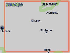
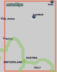
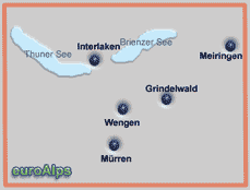
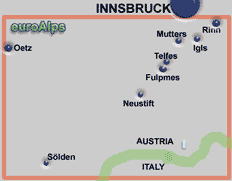
Note: The area or resort may be on the edge of some maps.
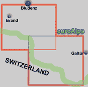
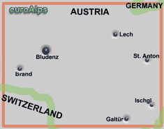
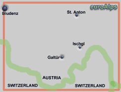
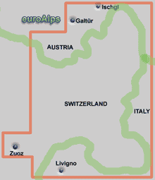
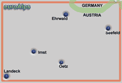
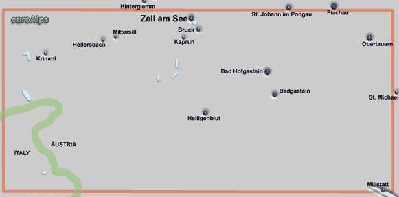
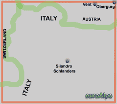
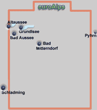
The pictures show the approximate area covered. The maps are different scales and the size (of paper) also varies.
Kompass produce a range of maps including walking / hiking maps of several countries. They also produce road maps, city maps and panorama maps. The paper walking maps (Wanderkarten) below cover the resorts and surrounding areas. Where the map covers more than one country it is normally listed under the country with the largest area e.g. Germany or Switzerland.
For information about how English speaking Customers can order from Amazon Germany, click here.
Kompass also produce a range of digital maps that allow you to view the map on a PC, print sections out, plot tracks and waymarks and transfer them to and from GPS receivers. Most also allow you to view the terrain in 3D and “fly” along your track.
Lists are believed to be correct, but there may be some current maps missing or some out of print.
Choose the country for a list of Kompass paper maps
Kompass
WK 28
1:50000
Kompass
WK 18
1:50000
Kompass
WK 19
1:50000
Kompass
WK 20
1:50000
Kompass
WK 018
1:25000
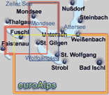
This map covers the 3 lakes east of Salzburg. It is two sided with three overlaping maps. On one side is a map covering St Wolfgangsee. On the reverse is a map of Fuschl, a map of Mondsee and a panoramic picture of the region. It comes with a 48 page book, in German, with short descriptions of the resorts, the huts, mountain bike routes, walks & hikes in the area. The folded map and book (18 cm x 11 cm) come in a plastic cover.
Kompass
WK 030
1:35000
Kompass
WK 29
1:50000
Kompass
WK 30
1:50000
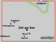
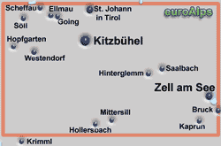
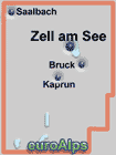
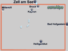
This Kompass map covers the Zell am See, Bruck, Kaprun area, with Salbach in the north west corner, and is marked for walking, cycling, cross country skiing and ski tours. It comes with a book describing the area and walks (german)
Kompass
WK 029
1:30000
Kompass
WK 9
1:50000
Kompass
WK 09
1:25000
Kompass
WK 031
1:25000

Kompass
WK 017
1:35000
Kompass
WK 17
1:50000
Kompass
WK 032
1:35000
Kompass
WK 32
1:50000
Kompass
WK 41
1:50000
Kompass
WK 98
1:50000
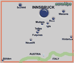
Kompass
WK 36
1:50000
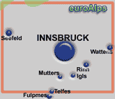
Kompass
WK 036
1:30000
Kompass
WK 37
1:50000
Kompass
WK 037
1:25000
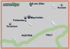
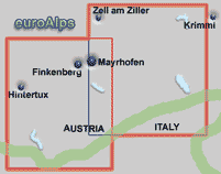
Kompass
WK 43
1:50000
Kompass
WK 042
1:25000
Kompass
WK 26
1:50000
Kompass
WK 027
1:35000
Kompass
WK 182
1:50000
Kompass
WK 026
1:25000
Kompass
WK 5
1:50000
Kompass
WK 33
1:50000
Kompass
WK 24
1:50000
Kompass
WK 42
1:50000
Kompass
WK 84
1:50000
Kompass
WK 83
1:50000

Kompass
WK 020
1:25000
Kompass
WK 31
1:50000
Kompass
WK 38
1:50000
Kompass
WK 39
1:50000
Kompass
WK 14
1:50000
Kompass
WK 15
1:50000
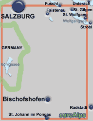
Kompass
WK 16
1:50000
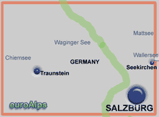
Kompass
WK 794
1:25000
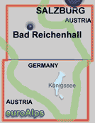
Kompass
WK 25
1:50000
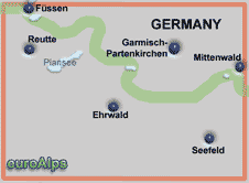
Kompass
WK 50
1:50000
3 map set
West: Großvenediger
Mitte: Großglockner
East / Ost: Ankogel
Kompass
WK 68
1:50000
Kompass
WK 35
1:50000
Kompass
WK 52
1:50000

|
WK 5 |
|
|
WK 09 |
|
|
WK 9 |
|
|
WK 14 |
|
|
WK 15 |
|
|
WK 16 |
|
|
WK 017 |
|
|
WK 17 |
|
|
WK 018 |
|
|
WK 18 |
|
|
WK 19 |
|
|
WK 020 |
|
|
WK 20 |
|
|
WK 24 |
|
|
WK 25 |
|
|
WK 026 |
|
|
WK 26 |
|
|
WK 027 |
|
|
WK 28 |
|
|
WK 029 |
|
|
WK 29 |
|
|
WK 030 |
|
|
WK 30 |
|
|
WK 031 |
|
WK 31 |
|
|
WK 032 |
|
|
WK 32 |
|
|
WK 33 |
|
|
WK 35 |
|
|
WK 036 |
|
|
WK 36 |
|
|
WK 037 |
|
|
WK 37 |
|
|
WK 38 |
|
|
WK 39 |
|
|
WK 41 |
|
|
WK 042 |
|
|
WK 42 |
|
|
WK 43 |
|
|
WK 50 |
|
|
WK 52 |
|
|
WK 68 |
|
|
WK 83 |
|
|
WK 84 |
|
|
WK 98 |
|
|
WK 182 |
|
|
Wk 293 |
|
|
WK 794 |
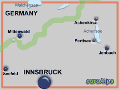
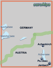
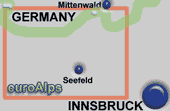
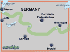
Covers Garmisch - Partenkirchen, Mittenwald, Seefeld, Ehrwald.
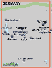
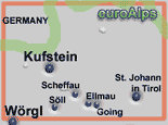
Covers Kufstein, Wörgl, Söll, Ellmau, Scheffau, St Johann in Tirol.
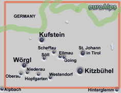
Covers Kufstein, Wörgl, Söll, Ellmau, Scheffau, Kitzbühel, St Johann in Tirol, Westerndorf, Going, Hopfgarten, Oberau, Niederau.
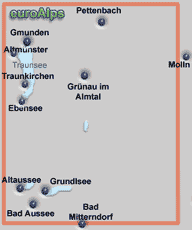
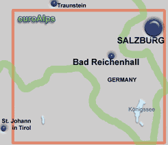
Covers Fieberbrunn and Salzburg in Austria and Bad Reichenhall and the Konigssee in Gemany.
In the south covers Bischofshofen, St Johann in Pongau. In the north covers part of the Wolfgangsee (St. Gilgen and St. Wolfgang), part of Salzburg, Konigssee in Germany.
Covers Salzburg and the area north west with Seekirchen and in Germany Traunstein, Chiemsee and Waginger See.
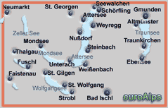
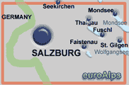
Covers Salzburg and the area to the east, Faistenau, Fuschl, St. Gilgen, Mondsee..
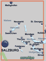
Covers Salzburg and the lakes to the east, Wallersee (Seekirchen, Neumarkt), Irrsee, Mondsee, Faistenau, Fuschl, St. Gilgen, St Wolfgang, Strobl, Unterach.
Click below for maps that just cover the resorts, with picture of the area covered.
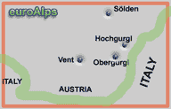
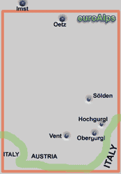
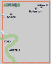
This map covers the Ötztal south to the border with Italy. The resorts of Obergurgl, Hochgurgl and Sölden are along this valley.
Kompass Digital Map GPS 4043 (above) covers a similar area to this map.
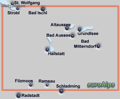
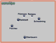
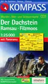
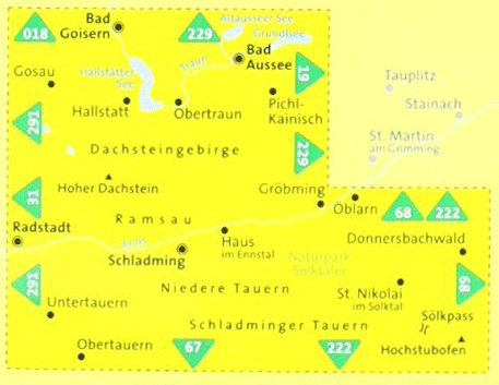
This map covers both Ramsau & Filzmoos, both are about 5.5km north from the bottom edge so the map covers a good area south of the villages. Paths are shown with numbers and in the Ramsau area the path sign colours and other details are also shown.
|
Sheet size 96 x 70cm |
Book - german |
UTM grid |
|
Folded 18 x 11cm |
Panorama |
Plastic cover |
|
Area 24 x 17.5km |
|
|
Double sided map covering southern part of Salzburg, Bad Reichenhall and Konigssee.
Kompass
WK 293
1:25000
3-teiliges Karten-Set mit Naturführer
3 map set with Nature Guide.
All 3 maps are double sided.
map 1 covers west third of area N & S;
map 2 covers middle third of area N & S;
map 3 covers east third of area S & panorama.
Amazon DE
Amazon US
Amazon CA
© 2005-2025
A Fielding
All Rights Reserved
Amazon UK
Amazon IT
