Saalbach-Hinterglemm, Salzburger Land, Austria
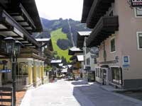
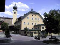
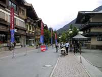

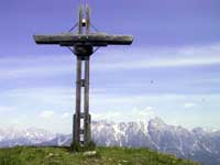
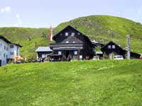
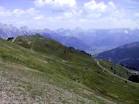
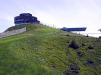
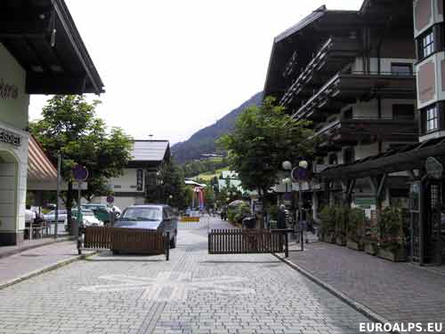
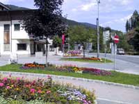
Saalbach - Hinterglemm Location
Click here for a Region Map and details of walking / hiking maps.
The villages of Saalbach and Hinterglemm lie close together in a west-east valley just north west of Zell am See, Bruck, Kaprun and the Pinzgau valley and south east of Kitzbühel. The main road passes south of Saalbach village and ends at Hinterglemm.
Walking / Hiking in the Saalbach - Hinterglemm Area
There are about 400 km of paths. There are walking areas to the north , west and south of Saalbach and Hinterglemm. You can walk to Zell am See (6 hours walking) and Kitzbühel (8 hours walking).
The Tourist Office may offer free led walks.
Skiing in the Saalbach - Hinterglemm Area
There are downhill skiing areas on both sides of the valley.
Saalbach - Hinterglemm Maps
There are several maps that cover the area at different scales suitable for walking, hiking and exploring the area.
Click here for Saalbach Hinterglemm Map Information.
Saalbach - Hinterglemm Tourist Information
Tourismusverband Saalbach Hinterglemm
Glemmtaler Landesstraße 550
A-5753 Saalbach Hinterglemm, Austria
Tel: +43 (0) 6541 6800-68
Fax: +43 (0) 6541 6800-69
E-Mail: contact@saalbach.com
Airports (Flughafen)
- Innsbruck: 160 km - 2h 00 mins
- Salzburg: 90 km - 1h 30 mins
- Munich: 180 km - 2h 00 mins
Rail Stations (Bahnhof)
The nearest main train station is Zell am See - about 16 km from Saalbach.
ÖBB (English) also has bus information.
Buses
Buses run from Hinterglemm, through Saalbach and down the valley. Route 680 goes through Maishofen to Zell am See.
ÖBB (English) also has train information.
VVT (Verkehrsverbund Tirol) also has train information.
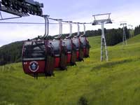
Cable Cars - Chair Lifts
Three separate companies work together as
Bergbahnen Saalbach-Hinterglemm
E Mail: saalbach@lift.at Saalbacher Bergbahnen GmbH
E Mail: hinterglemm@lift.at Hinterglemmer Bergbahnen
E Mail: bbsh@lift.at BBSH Bergbahnen Saalbach Hinterglemm GmbH
© 2005-2025
A Fielding
All Rights Reserved
|
|
| Subscribe to Hiking Alps |
| Visit this group |
- Home
- Countries
- eurounion
- austria
- Alpbach
- Altmünster
- Bad Aussee
- Bad Ischl
- Bruck an der Großglocknerstrasse
- Ebensee
- Ellmau
- Fieberbrunn
- Filzmoos
- Fuschl
- Galtür
- Gmunden
- Hallstatt
- Igls
- Innsbruck
- Kaprun
- Kitzbühel
- Kufstein
- Mayrhofen
- Mittersill
- Mutters
- Niederau
- Oberau
- Obergurgl
- Pertisau
- Ramsau
- Rattenberg
- Reith im Alpbachtal
- Saalbach-Hinterglemm
- Salzburg
- Schladming
- Seefeld
- Söll
- St. Anton
- St. Gilgen
- St. Johann
- St. Wolfgang
- Strobl
- Telfes
- Traunkirchen
- Waidring
- Westendorf
- zellsee
- switzerland
- Before You Travel
- Holiday Paperwork
- Holiday Travel
- Accommodation
- Walking Clothes
- Walking Equipment
- Books & Maps
- mapinfo
- Kuemmerly Frey Maps
- Valser Maps
- Alpine Club maps
- mayr maps
- freytag berndt maps
- Kompass maps
- Kompass Paper Maps
- Kompass Digital Maps
- Kompass Map 4309
- Kompass Map 4290
- Kompass Map 4291
- Kompass Map 4292
- Kompass Map 4293
- Kompass Map 4294
- Kompass Map 4295
- Kompass Map 4296
- Kompass Map 4297
- Kompass Map 4001
- Kompass Map 4003
- Kompass Map 4004
- Kompass Map 4025
- Kompass Map 4026
- Kompass Map 4032
- Kompass Map 4043
- Kompass Map 4044
- Kompass Map 4052
- Kompass Map 4056
- Kompass Map 4066
- Kompass Map 4070
- Kompass Map 4102
- Kompass Map 4187
- Kompass Map 4191
- Kompass Map 4221
- Kompass Map 4230
- Kompass Map 4231
- Kompass Map 4232
- Kompass Map 4233
- Kompass Map 4234
- Kompass Map 4235
- Kompass Map 4237
- Kompass Map 4239
- Kompass Map 4240
- Kompass Map 4241
- Kompass Map 4242
- Kompass Map 4243
- Kompass Map 4250
- Kompass Map 4251
- Kompass Map 4331
- Kompass Map 4334
- Kompass Map 4371
- Kompass Map 4372
- Kompass Map 4650
- Kompass Map 4701
- Kompass Map 4705
- Kompass Map 4737
- Kompass Map 4750
- Kompass Map 4770
- Kompass Map 4804
- Kompass Map 4837
- Kompass Map 4850
- Kompass Map 4852
- Kompass Map 4853
- Kompass Map 4854
- Alpenwelt maps
- Resorts
- Walks, Hikes
- Alpine Fauna
- Alpine Flora
- Mountain Huts, Cafés
- Technology
- Privacy, cookies
