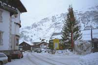
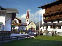
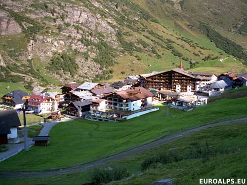
Obergurgl village in Winter
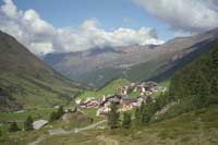
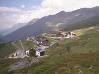
Obergurgl village in Summer
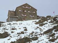
Ramol Hütte 3005m
Obergurgl, Tirol, Austria
Eastern Alps: The Classic Routes on the Highest Peaks
Dieter Seibert
Translated into English, this guide for mountaineers covers hikes in the following ranges: Silvretta, Engadine & Bregaglia, Ortler & Adamello, Ötztal & Stubai, Zillertal, Hohe Tauern. It is intended for experienced hikers. Most walks cross glaciers and recommended equipment includes ice axe, crampons, rope and sit harness.
Obergurgl Resort Information
Click here for a Region Map and details of walking / hiking maps.
Obergurgl is a small village in the Tirol (Tyrol) region of Austria at the end of the north-south Ötz valley (Ötztal) south west of Innsbruck. It is near to Hochgurgl and Untergurgl. The next village is Sölden. There is a small toll road (Timmelsjoch) open in the summer that leaves the main road (186) just before Obergurgl and passes through Hochgurgl to Italy. There is no through traffic in Obergurgl.
There are a few shops and a supermarket and banks with ATM machines.
Click here for a Resort Map of Obergurgl.
Walking / Hiking in Obergurgl
The walks around Obergurgl are mainly mountain walks on the east, soth and west sides of the valley. There are also a few valley walks down to Sölden.
The Tourist Office may offer free led walks.
Click here for Obergurgl Walks.
Skiing in Obergurgl
Winter skiing is on the areas south and east of Obergurgl. There are also lifts and a ski bus that links to the ski area around Hochgurgl, a few km north of Obergurgl. There are a few cross country skiing tracks in the valley but the resort is mainly a downhill skiing resort.
All year round skiing is available on the glaciers above Sölden.
Obergurgl Maps
There are several maps that cover the area at different scales suitable for walking, hiking and exploring the area.
Click here for Obergurgl Map Information.
Obergurgl Tourist Information
Tourismusverband Obergurgl-Hochgurgl
Hauptstrasse 108
A-6456 Obergurgl, Austria
Tel +43 (0) 5256 6466
Fax +43 (0) 5256 6353
Airports (Flughafen)
The nearest airport to Obergurgl is Innsbruck.
- Innsbruck: 100 km - 1h 15 mins
- Salzburg: 400 km - 4h 00 mins
- Munich: 200 km - 3h 40 mins
Rail Stations (Bahnhof)
The nearest train station is at Imst about 56 km north along the valley.
ÖBB (English) also has bus information.
Buses
Buses run to Sölden and Vent and also villages north along the valley to Imst. Some also go to Hochgurgl.
ÖBB (English) also has train information.
VVT (Verkehrsverbund Tirol) also has train information.
Oetztaler bus
Cable Cars - Chair Lifts
These are the main lifts and gondolas. In Obergurgl (Festkogelbahn, Roßkarbahn, Gaisberg) and Hochgurgl (Hochgurglbahn). Only a few operate in Summer.
© 2005-2025
A Fielding
All Rights Reserved
|
|
| Subscribe to Hiking Alps |
| Visit this group |
