Schladming, Steiermark, Austria - Maps
Lat 47.236 N; Long 13.412 E; Altitude: 740 m. Postcode: A-8970
Schladming is a town a few km south of Ramsau, south east of Filzmoos, south east of Salzburg. It is just south of the main west - east road (B320).
Some possible walks are here.
This diagrammatic map is a guide to where Schladming is in relation to the nearby resorts, roads, lakes and mountains etc.
Not to scale and not all details are shown.
Schladming Interactive Map
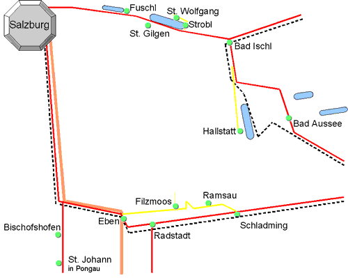
Schladming Diagrammatic Map
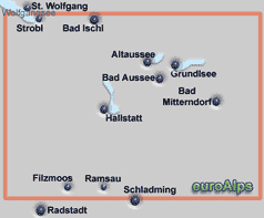
Kompass
WK 20
1:50000
Ramsau Dachstein
Dachstein, Ausseerland, Filzmoos, Ramsau
freytag & berndt
WK 281
1:50000
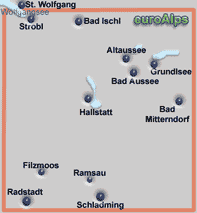
Schladminger Tauern Radstadt Dachstein
freytag & berndt
WK 201
1:50000

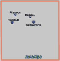
These are some of the paper maps that cover the area.
Note: The area or resort may be on the edge of some maps.
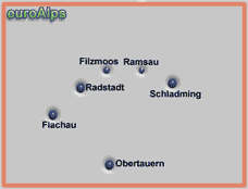
The pictures show the approximate area covered. The maps are different scales and the size (of paper) also varies.
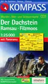
Left click over the map to move the area shown.
Kompass
WK 31
1:50000
Salzkammergut 3D digital
DIGITAL MAP GPS 4334
This Kompass map covers the Salzkammergut region. It covers the resorts of Salzburg, Bad Ischl, Bad Aussee, Hallstatt, Ebensee, Filzmoos, Ramsau, Schladming, Fuschl, Altmünster, Gmunden, Traunkirchen, Strobl, St. Gilgen, St. Wolfgang.
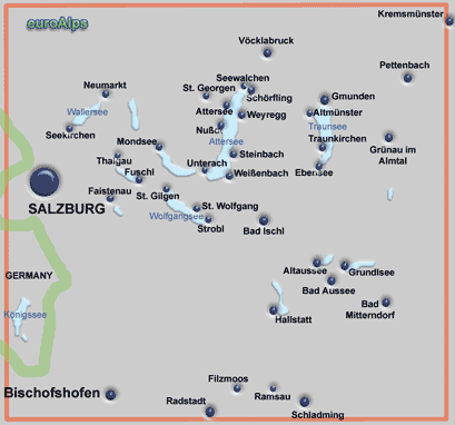
The Kompass range of digital maps allow you to view the map on a PC, print sections out, plot tracks and waymarks and transfer them to and from GPS receivers. You can zoom into a maximum map scale of 1:10000. Most also allow you to view the terrain and your track and photos in 3D and to “fly” along your track. Some also include a search function for locations, huts, summits.
These are some of the digital maps that cover the area. More Kompass Digital Maps
Note: The area or resort may be on the edge of some maps.
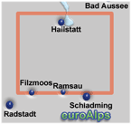
The pictures show the approximate area covered.
Österreich 3D digital
DIGITAL MAP GPS 4309
This Kompass digital map covers the whole of Österreich (Austria).
Steiermark 3D digital
DIGITAL MAP GPS 4294
This Kompass map covers the Austrian province of Styria; (Steiermark).
Dachsteingebirge
Alpenvereins karte
14
1:25000
Other Kompass Maps Other mayr Maps Other freytag & berndt Maps Other Alpine Club Maps
freytag & berndt
WK 5201
1:35000
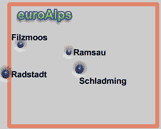
Tennengebirge, Lammertal, Gosaukamm, Osterhorngruppe
freytag & berndt
WK 392
1:50000
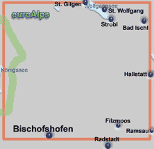
Paper Maps
Digital Maps
Dachstein - Südliches Salzkammergut, Ausseerland -
Bad Goisern – Hallstatt
Alpenvereins karte
45/2
1:50000
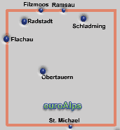
This map covers both Ramsau & Filzmoos, both are about 5.5km north from the bottom edge so the map covers a good area south of the villages. Paths are shown with numbers and in the Ramsau area the path sign colours and other details are also shown.
|
Sheet size 96 x 70cm |
Book - german |
UTM grid |
|
Folded 18 x 11cm |
Panorama |
Plastic cover |
|
Area 24 x 17.5km |
|
|
Kompass
WK 031
1:25000
Kompass
WK 293
1:25000
3-teiliges Karten-Set mit Naturführer
This is a set of three maps and a Nature Guide.
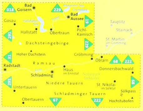
All 3 maps are double sided.
map 1 covers west third of area N & S;
map 2 covers middle third of area N & S;
map 3 covers east third of area S & panorama.

© 2005-2025
A Fielding
All Rights Reserved
|
|
| Subscribe to Hiking Alps |
| Visit this group |
