Lat 47.16517 N; Long 11.36564 E; Altitude: 1007 m. Postcode: A-6165
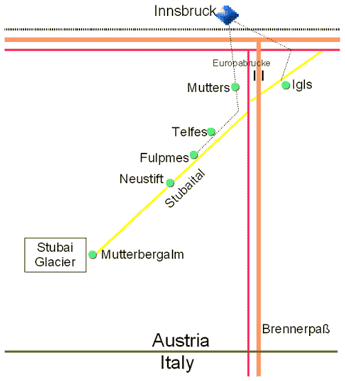
Telfes is a small village in the Tirol (Tyrol) region of Austria. Telfes lies in a North-east South-west valley (Stubaital) 12 km South of Innsbruck, just west of the main Autobahn (A13) from Innsbruck to the Brenner Pass. The village of Fulpmes is a few km south west of Telfes with the village of Mutters to the north. The main road down the valley (183) passes south of the village to Neustift where the road continues to the end of the valley and the Stubaier Gletscher with all year skiing. Other villages in Stubaital include Mieders, Schönberg.
Telfes im Stubai, Tirol, Austria - Maps
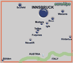
This diagrammatic map is a guide to where Telfes is in relation to the nearby resorts, roads, lakes and mountains etc.
Not to scale and not all details are shown.
Telfes Interactive Map
Telfes Diagrammatic Map
Kompass
WK 36
1:50000
Innsbruck - Brenner
Stubaier Alpen
Kompass
WK 83
1:50000
Alpenvereins karte
35/1
1:25000
Zillertaler Alpen - Westliches Blatt (West sheet)
Innsbruck, Stubai, Sellrain, Brenner
freytag & berndt
WK 241
1:50000
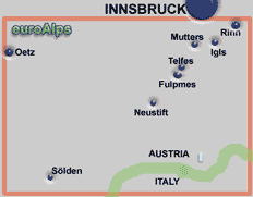
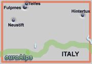
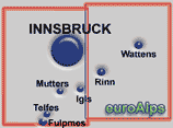
These are some of the paper maps that cover the area.
Note: The area or resort may be on the edge of some maps.
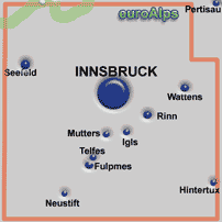
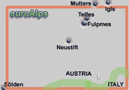
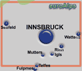
The pictures show the approximate area covered. The maps are different scales and the size (of paper) also varies.
Left click over the map to move the area shown.
The Kompass range of digital maps allow you to view the map on a PC, print sections out, plot tracks and waymarks and transfer them to and from GPS receivers. You can zoom into a maximum map scale of 1:10000. Most also allow you to view the terrain and your track and photos in 3D and to “fly” along your track. Some also include a search function for locations, huts, summits.
These are some of the digital maps that cover the area. More Kompass Digital Maps
Note: The area or resort may be on the edge of some maps.
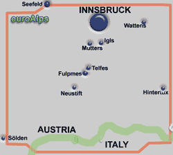
The pictures show the approximate area covered.
Tirol 3D digital
DIGITAL MAP GPS 4292
This Kompass map covers the Austrian province of Tyrol; (Tirol - Nordtirol & Osttirol)
Österreich 3D digital
DIGITAL MAP GPS 4309
This Kompass digital map covers the whole of Österreich (Austria).
Other Kompass Maps Other mayr Maps Other freytag & berndt Maps Other Alpine Club Maps
mayr
18
1:35000
Kompass
WK 036
1:30000
Paper Maps
Digital Maps
Fulpmes Panorama Picture
mayr
24
1:35000
Wipptal, Stubaital - Matrei am Brenner, Mühlbachl, Pfons, Navis, Steinach am Brenner, Trins, Gschnitz, St. Jodok, Schmirn, Vals,
Gries am Brenner, Obernberg
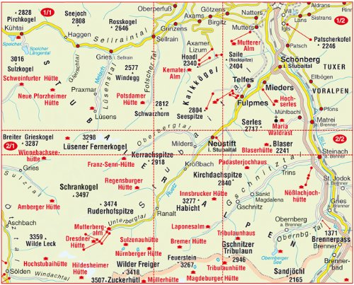
Innsbruck und Umgebung, XL Edition
mayr
420
1:25000
This is a mayr XL Edition map. It is a 2 maps set, each map is double sided map and tear and water resistant. They cover the Stubaital area south of Innsbruck.
mayr
418
1:25000
© 2005-2025
A Fielding
All Rights Reserved
|
|
| Subscribe to Hiking Alps |
| Visit this group |
