Salzburg Interactive Map
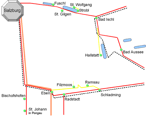
This diagrammatic map is a guide to where Salzburg is in relation to the nearby resorts, roads, lakes and mountains etc.
Not to scale and not all details are shown.
Salzburg Diagrammatic Map
Salzburg, Austria - Maps
47.8N 13.04E 420m Postcode 5020
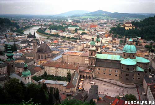
Salzburg is next to the border, with Germany to the west and the Salzkammergut region to the east. The Salzach river flows south - north through Salzburg. The old part of Salzburg (Altstadt) is designated a world heritage site by UNESCO and has a pedestrian zone where you can walk around the narrow streets with buildings from all periods, shops, museums. Hohensalzburg Fortress, south of the Altstadt, is on the top of Mönchsberg (520m) where you get a good view of the city.
View over Salzburg
Salzburg und Umgebung
Kompass
WK 017
1:35000
Salzburger Seengebiet
Kompass
WK 17
1:50000
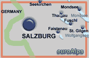
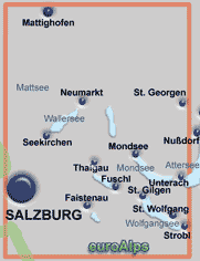
These are some of the paper maps that cover the area.
Note: The area or resort may be on the edge of some maps.
The pictures show the approximate area covered. The maps are different scales and the size (of paper) also varies.
Left click over the map to move the area shown.
Salzkammergut 3D digital
DIGITAL MAP GPS 4334
This Kompass map covers the Salzkammergut region. It covers the resorts of Bad Ischl, Bad Aussee, Hallstatt, Ebensee, Filzmoos, Ramsau, Fuschl, Altmünster, Gmunden, Traunkirchen, Salzburg, Strobl, St. Gilgen, St. Wolfgang.
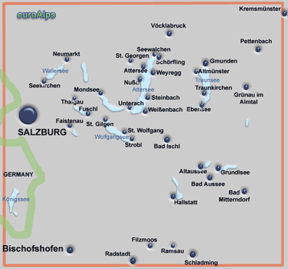
The Kompass range of digital maps allow you to view the map on a PC, print sections out, plot tracks and waymarks and transfer them to and from GPS receivers. You can zoom into a maximum map scale of 1:10000. Most also allow you to view the terrain and your track and photos in 3D and to “fly” along your track. Some also include a search function for locations, huts, summits.
These are some of the digital maps that cover the area. More Kompass Digital Maps
Note: The area or resort may be on the edge of some maps.
The pictures show the approximate area covered.
Österreich 3D digital
DIGITAL MAP GPS 4309
This Kompass digital map covers the whole of Österreich (Austria).
Salzburger Land 3D digital
DIGITAL MAP GPS 4293
This Kompass map covers the Austrian province of Salzburg or Salzburger Land.
Other Kompass Maps Other mayr Maps Other freytag & berndt Maps Other Alpine Club Maps
freytag & berndt
WK 391
1:50000
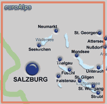
freytag & berndt
WK 102
1:50000
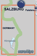
Kompass
WK 14
1:50000
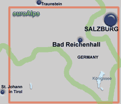
Kompass
WK 15
1:50000
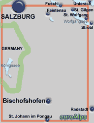
Kompass
WK 16
1:50000
Kompass
WK 794
1:25000
Paper Maps
Digital Maps
Kompass
SP 444
1:10000
Salzburg Touristplan mit Sehenswürdigkeiten
This Kompass Maps of Salzburg is in English, French, Italian and German.
Salzburg Stadtplan Salzburg Gesamtplan Salzburg City Pocket Salzburg Touristenplan
freytag & berndt
PL 018
1:12500
freytag & berndt publish four different maps of Salzburg
freytag & berndt
PL 18 CP
1:10000
freytag & berndt
PL 73
1:10000
freytag & berndt
PL 18
1:15000
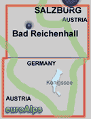
Covers Salzburg in Austria and Bad Reichenhall and the Konigssee in Gemany.
In the south covers Bischofshofen, St Johann in Pongau. In the north covers part of the Wolfgangsee (St. Gilgen and St. Wolfgang), part of Salzburg, Konigssee in Germany.
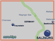
Covers Salzburg and the area north west with Seekirchen and in Germany Traunstein, Chiemsee and Waginger See.
Covers Salzburg and the area to the east, Faistenau, Fuschl, St. Gilgen, Mondsee.
Covers Salzburg and the lakes to the east, Wallersee (Seekirchen, Neumarkt), Irrsee, Mondsee, Faistenau, Fuschl, St. Gilgen, St Wolfgang, Strobl, Unterach.
Double sided map covering southern part of Salzburg, Bad Reichenhall and Konigssee.
Covers Fuschl, St. Gilgen, St. Wolfgang, Strobl
© 2005-2025
A Fielding
All Rights Reserved
|
|
| Subscribe to Hiking Alps |
| Visit this group |
