Grindelwald, Switzerland - Maps
This diagrammatic map is a guide to where Grindelwald is in relation to the nearby resorts, roads, lakes and mountains etc.
Not to scale and not all details are shown.
Grindelwald Interactive Map
Lat 46° 37' ,Long 8° 2'
= Lat 46.624° ,Long 8.036°
Altitude: 1050m; Postcode: CH-3818
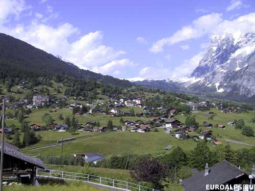
Grindelwald is in the Bernese Oberland region of Switzerland. It lies to the north of the Eiger - Mönch - Jungfrau mountain range. Grindelwald is part of the Swiss Jungfrau region together with Interlaken, Wengen, Mürren, Bönigen, Ringgenberg-Goldswil, Iseltwald, Wilderswil and Lauterbrunnen. From the valley town of Interlaken, Grindelwald is reached by either road or train.
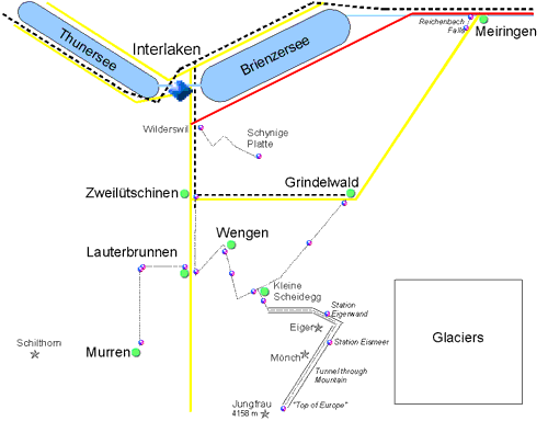
Grindelwald Diagrammatic Map
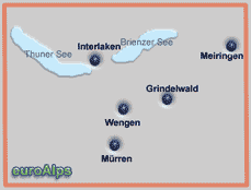
These are some of the maps that cover the area.
Note: The area or resort may be on the edge of some maps.
Walking Easy in the Swiss & Austrian Alps
Chet & Carolee Lipton This US book covers day walks in Alpbach, Kitzbühel, Neustift, Seefeld, Wagrain, Zell Am Ziller, Bad Gastein, Zell am See, Kaprun, Wengen, Grindelwald, Mürren, Meiringen, Lenk, Adelboden, Lötschental, Lucerne, Saas-Fee, Engadine, Zermatt, Arosa, Appenzellerland,
There is also a chapter on getting to and about Austria & Switzerland, what to take, and information about Austria & Switzerland.
Left click over the map to move the area shown.
The pictures show the approximate area covered. The maps are different scales and the size (of paper) also varies.
Other Kümmerly+Frey Maps Other Valser Maps Other Kompass Maps
Kümmerly+Frey
18
1:60000
Wanderkarte - Jungfrauregion
Bundesamt fur Landestopographie
1228
1:25000
Lauterbrunnental
Bundesamt fur Landestopographie
254T
1:50000
Wanderkarte - Interlarken - Hiking Edition
Wanderkarte - Jungfrau - Hiking Edition
Bundesamt fur Landestopographie
264T
1:50000
Jungfrau-Region Thuner See Brienzer See
Kompass
84
1:50000
Kümmerly+Frey
25
1:60000
Wanderkarte - Aletsch / Lötschental / Goms


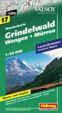
Grindelwald - Wengen - Mürren
Valser
17
1:50000
Folded 11.1 x 20 cm
Lauterbrunnen, Jungfrau Region
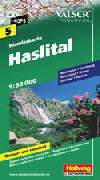
Haslital
Meiringen, Hasliberg, Rosenlaui, Brienz, Grimsel, Susten, Grindelwald.
Grindelwald is in the south west corner of the map.
Valser
5
1:50000
Folded 11.1 x 20 cm
© 2005-2025
A Fielding
All Rights Reserved
|
|
| Subscribe to Hiking Alps |
| Visit this group |
